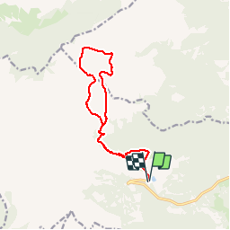
6.5 km | 14.5 km-effort
villander
VacheKiri67
User
Length
13 km
Boucle
Yes
Creation date :
2019-08-01 08:18:28.534
Updated on :
2019-08-01 13:23:30.515
4h42
Difficulty : Medium
FREE GPS app for hiking
About
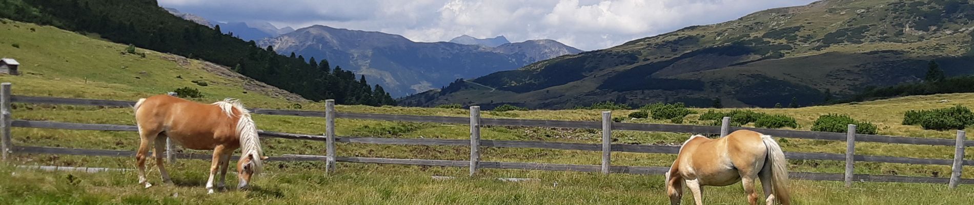
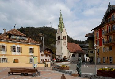
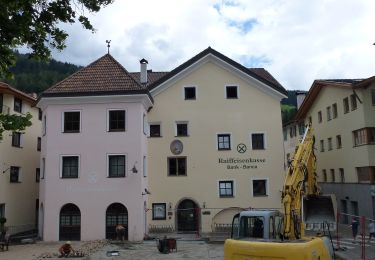
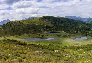
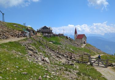
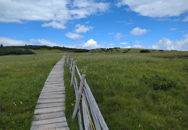
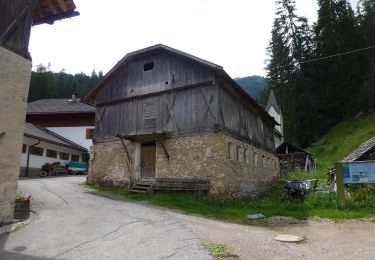
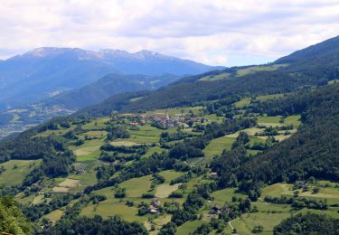
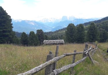
Trail Walking of 13 km to be discovered at Trentino-Alto Adige/Südtirol, South Tyrol, Villanders - Villandro. This trail is proposed by VacheKiri67.
Positioning
Country:
Italy
Region :
Trentino-Alto Adige/Südtirol
Department/Province :
South Tyrol
Municipality :
Villanders - Villandro
Location:
Unknown
Start:(Dec)
Start:(UTM)
690572 ; 5168333 (32T) N.
Comments
Trails nearby
IT-2
On foot
Easy
Waidbruck - Ponte Gardena,
Trentino-Alto Adige/Südtirol,
South Tyrol,
Italy
3h 17min
No
AVS 3 - Sarnthein - Gasteiger Sattel
On foot
Easy
Villanders - Villandro,
Trentino-Alto Adige/Südtirol,
South Tyrol,
Italy
10.9 km | 19.4 km-effort
4h 24min
No
AVS 6 - Gasserhütte - Schloss Reinegg
On foot
Easy
Villanders - Villandro,
Trentino-Alto Adige/Südtirol,
South Tyrol,
Italy
8.8 km | 14.9 km-effort
3h 23min
No
Latzfonser Kreuz
Walking
Difficult
Klausen - Chiusa,
Trentino-Alto Adige/Südtirol,
South Tyrol,
Italy
14.8 km | 27 km-effort
6h 24min
Yes
Villanderer Alm - Stöfflhütte et prairies marécageuses
Walking
Medium
Villanders - Villandro,
Trentino-Alto Adige/Südtirol,
South Tyrol,
Italy
15.7 km | 22 km-effort
5h 3min
Yes
Vogelweider Rundweg
On foot
Easy
Lajen - Laion,
Trentino-Alto Adige/Südtirol,
South Tyrol,
Italy
7.2 km | 12.6 km-effort
2h 52min
Yes
IT-35
On foot
Very difficult
Waidbruck - Ponte Gardena,
Trentino-Alto Adige/Südtirol,
South Tyrol,
Italy
39 km | 70 km-effort
15h 55min
No
Keschtnweg - Sentiero del Castagno
On foot
Very difficult
Klausen - Chiusa,
Trentino-Alto Adige/Südtirol,
South Tyrol,
Italy
27 km | 41 km-effort
9h 21min
No
Villanderer Alm
Walking
Medium
Villanders - Villandro,
Trentino-Alto Adige/Südtirol,
South Tyrol,
Italy
13.7 km | 22 km-effort
4h 44min
Yes